
wyoming
American Whitewater maintains an extensive database of rivers throughout the United States including WY. Visit: American Whitewater - Wyoming River List.

Jeff swimming in the Green River flows through Seskeedee National Wildlife Refuge, August 9, 2020. Find water flow info from the USGS Gage below Fontenelle Dam. View map and read regulations for the SNWR.

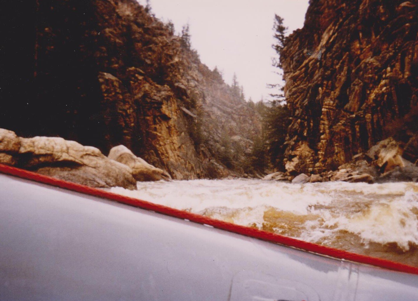
“Flipping” in Big Kahuna rapid on Snake River in northwest WY, August 1996. Find water flow info from USGS Gage on Snake River near Moose, WY. Permits are FREE & REQUIRED to float various sections of the Snake River in Bridger-Teton National Forest. Learn more: USFS Bridger-Teton Snake River Permit Information. All campgrounds in Bridger-Teton Forest are first come/first served.

Green River near Expedition Island in Green River, WY. May 24, 2019. Find water flow info from the USGS Gage near Green River, WY. Flat water float from Green River to Flaming Gorge approximately 11 miles, then motor the length of Flaming Gorge Reservoir. Portage around the dam and drop boats @ the Spillway Boat Launch. No permit needed from the dam to the Gates of Lodore. Reserve Green River Float-In Campsites from April to September each year.

North Platte River from Glendo to Guernsey. This float starts on the North Platte River near the Glendo Power Plant, travels through Wendover Canyon & finishes at the Wendover train stop just north of Guernsey Reservoir. Water is released from Glendo Reservoir and flows in July typically average 3000-5000 cfs. Learn more: Current water data for Glendo Reservoir.
Northgate Canyon on North Platte River between Routt Access & Six Mile Gap. Class III+ and no river permit needed. Typically runs from May through July with low flows in summer suitable for kayaks, packrafts and IK’s. Find water flow info from the USGS Gage near Northgate, CO. Avoid private lands marked w/red squares and do not land on their river banks. Public lands are marked w/blue squares.

Tongue River Water Trail through Sheridan, WY. Made possible by efforts of the Sheridan County Land Trust and other partners. Check out maps from Sheridan Trails and Pathways. Watch a short video about TRWT.
The Poudre Paddlers Club has a wealth of information about rivers, lakes & reservoirs in both WY & CO. Visit their website: Poudre Paddlers Club.
WYOMING
Wyoming is at the epicenter of the American West & includes the headwaters of six drainage basins. The Continental Divide essentially travels through the middle of Wyoming and as a result, water on the western half of the divide flows to the Pacific Northwest & Gulf of California. Eventually, water on the eastern half of the divide flows into the Mississippi River & Gulf of Mexico.
Snake/Salt Rivers drain into the Columbia River Basin (Western WY)
The Snake River is the largest tributary of the Columbia River, which ultimately empties into the Pacific Ocean. The Salt River drains Star Valley in Lincoln County. Both the Salt and Snake rivers enter the east end of Palisades Reservoir near Alpine, WY.
Bear River Basin (Southwest WY)
Greater Green River Basin (West-Central/Southern WY)
Headwaters for the Green River begin in the high elevations of the Wind River Range, flow into the Green River lakes before making their way south to Green River, WY. The Green River & its tributaries encompass a large portion of the CO River Basin.
Wind/Bighorn Basin (Central WY)
Northeast River Basin (Northeast WY)
The NERB encompasses the entire northeast quarter of WY, and includes headwater drainages of the Little Bighorn, Tongue, Powder, Little Powder, Little Missouri, Belle Fourche, Cheyenne, and Niobrara rivers. Ultimately, the waters from all eight rivers flow to the Missouri River.
Platte River Basin (Southeast WY)
The Platte River Basin is among the most important river drainages in Wyoming. It covers one quarter of the state’s surface area and contains more than 40 percent of the state’s total population.